CRT/RCC/1
Rochdale Canal Company Records
Description
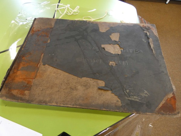
Group of map showing the location and extent of the Rochdale Canal. Split into 2 groups, one for Lancashire and the second for Yorkshire, each with an index map at a scale of 1"=1mile.
Ordnance survey sheets 6"=1 mile 104,105,97,86,88,89,81,73,229,244,245,230
Date
1848
Reference code
CRT/RCC/1
Extent & medium
Index 1"=4 miles, Sheets 6"=1mile
Paper Prints in bound book
970mm x 700mm
Paper Prints in bound book
970mm x 700mm


