Undertakers of the Navigation of the Rivers Aire and Calder
>
Plans of land, estates and property owned/purchased by the Aire and Calder Navigation
BW91/10/13
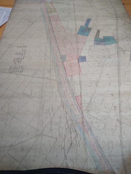
Ordnance Survey map showing land adjacent to the Knottingley and Goole Canal at Rawcliffe giving details of when land purchased and sold
Description
Shows land bought from and conveyed to West Riding County Council, with details of deeds; also land bought from private individuals, with table of total area of land.
Date
c1930
Reference code
BW91/10/13
Extent & medium
1 sheet


