BW202/6/5
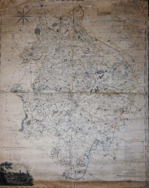
A map of Warwickshire / drawn from an actual survey taken in the years 1787, 1788, 1789 by Will.m Yates & Sons, for John Sharp
Description
Relief shown by hachures.
Scale given in statute and geographical miles.
Map of the county of Warwickshire, showing a range of physical and human geographical features.
Includes triangulation diagram with textual explanation of surveying process.
Includes view of Warwick Castle and St Mary's Tower.
Includes pictorial legend.
Titled "A map of Warwickshire, drawn from an actual survey taken in the years 1787, 88, 89, by Wm. Yates and Sons ; published by John Sharp, 1793.
Date
1787-1789
Reference code
BW202/6/5
Access Status
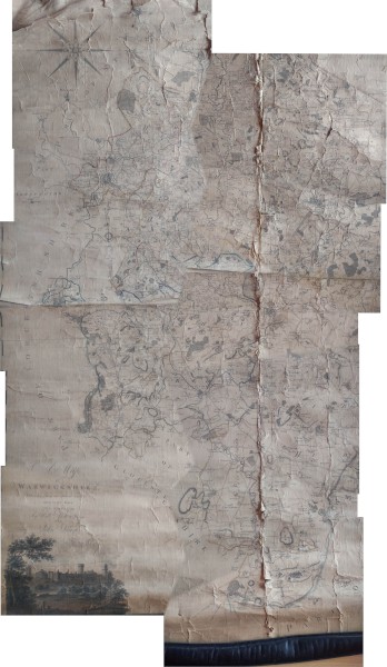
Digital access only as conservation required.
Extent & medium
Paper on linen


