Arthur Watts Collection
>
Arthur Watts photographs
>
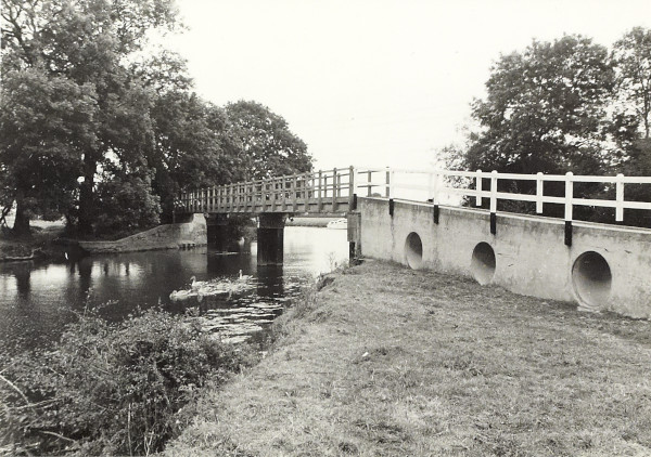
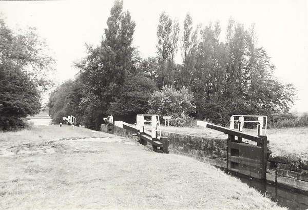
Grand Union Canal - Leicester Navigation, part of the River Soar, at Bridge 28 (Mill Lane), looking downstream towards the Barrow Cut
BW200/1/41/43
The River Soar near Kegworth
Description
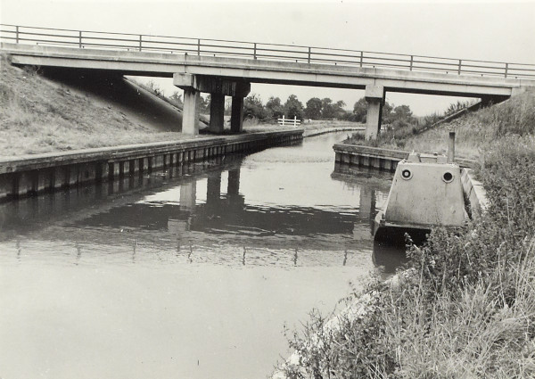
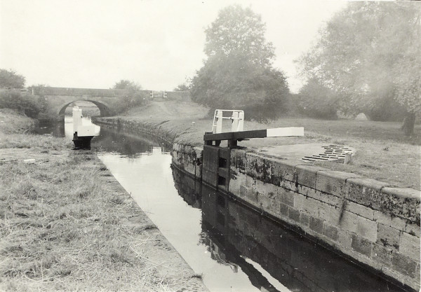
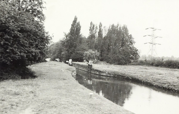
The first image (BW200-1-41-43) shows the towing path bridge, downstream of Kegworth Shallow Lock, at the tail of the backwater looking towards the main navigation tunnel with the camera facing downstream (north east). The second image (BW200-1-41-43-1) shows the A453, which opened in 1968, over the navigation cut above Ratcliffe Lock. The third image (BW200-1-41-43-2) shows Kegworth Shallow Lock (a flood lock) looking upstream (south) towards Kegworth Bridge. The fourth image (BW200-1-41-43-3) shows Kegworth Shallow Lock (a flood lock) looking downstream (north) with Kegworth Bridge behind the camera. The fifth image (BW200-1-42-43-4) shows Kegworth Shallow Lock (a flood lock) looking downstream (north) with Kegworth Bridge behind the camera.
Date
August 1971
Reference code
BW200/1/41/43
Extent & medium
6 black and white photographs


