BW178/67
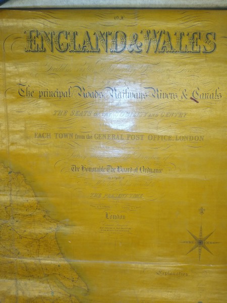
England and Wales, The Principal Roads, Railways, Rivers and Canals
Description
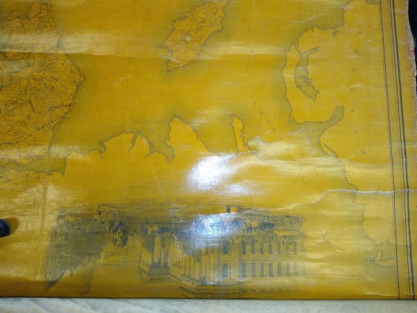
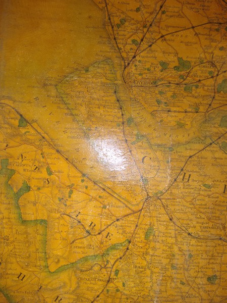
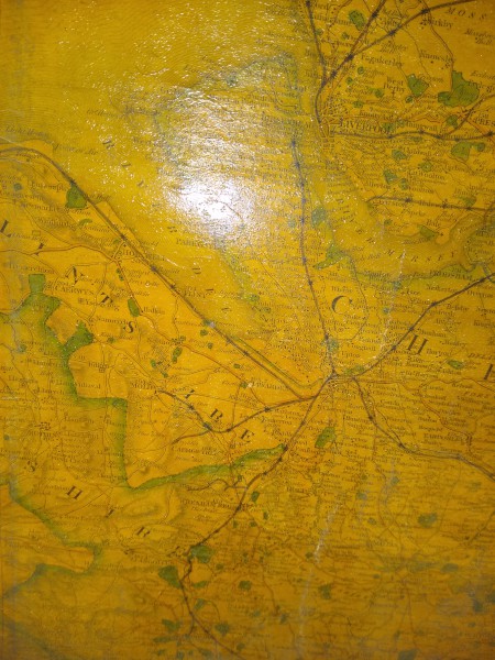
Map showing Principal Roads, Rivers, Railways, Canals and the seats of nobility and gentry with the distance of each town from the General Post Office, London
Date
1856
Reference code
BW178/67
Access Status
These records are available immediately for research
Extent & medium
1 sheet
Linen
5 miles = 1"
Linen
5 miles = 1"


