British Transport Commission: Docks and Inland Waterways Executive
>
North Western Division
>
Ashton Canal
BW175/6/10/2
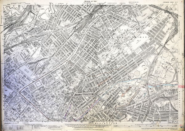
Ordnance Survey map showing a section of the Ashton Canal near Ardwick, Miles Platting and New Cross Wards in Manchester
Description
With annotations including references to agreements with gas board for pipes on tow path, 1951; map printed and published in 1934.
Date
[1951]
Reference code
BW175/6/10/2
Access Status
These records are available immediately for research
Extent & medium
1 Sheet


