BW17/11
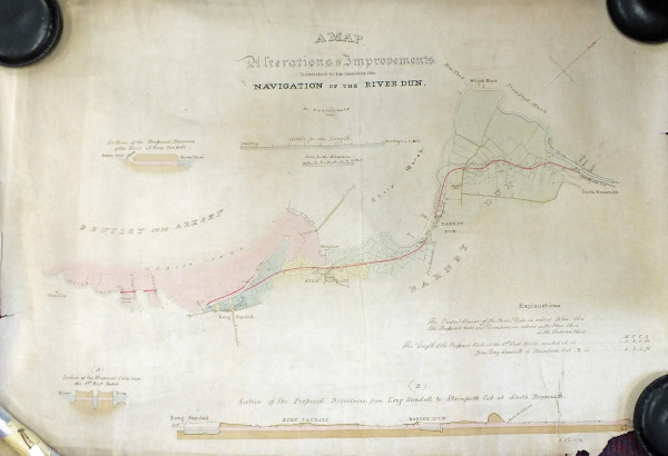
"A Map. Alterations & Improvements intended to be made in the Navigation of the River Dun."
Description
Plan of length of river from near Wheatley to South Bramwith; section of proposed diversion of river at Long Sandwell; section of proposed cuts near the 1st West Ratch; section of proposed diversions from Long Sandall to Stainforth Cut at South Bramwith. With explanatory key. Drawn by William Fairbank.
Date
1820
Reference code
BW17/11
Extent & medium
1 sheet


