Company of Proprietors of the Birmingham Canal Navigations
>
Maps and plans of the Birmingham Canal Navigations network
>
Rushall Canal
BW165/14/29/8
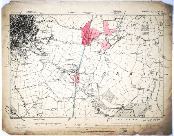
Ordnance Survey map showing the Rushall Canal from Shustoke Bridge to below Rushall Top Lock
Description
Surveyed 1882-1883. Annotated to show land belonging to Lord Hatherton, Earl Bradford and the Governors of Queen Mary's Schools. Staffs sheet no LXIII SE.
Date
1890
Reference code
BW165/14/29/8
Extent & medium
1 sheet


