Company of Proprietors of the Birmingham Canal Navigations
>
Maps and plans of the Birmingham Canal Navigations network
>
General maps and plans
BW165/14/1/23
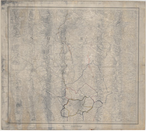
Ordnance Survey map marked to show waterways and railways in the West Midlands
Description
Shows details of some authorising acts for railways and areas of drainage district. Note "Tithe map". 1st edition sheet no. LXII.
Date
[late 19th century]
Reference code
BW165/14/1/23
Extent & medium
1 sheet


