Company of Proprietors of the Birmingham Canal Navigations
>
Maps and plans of the Birmingham Canal Navigations network
>
General maps and plans
BW165/14/1/22
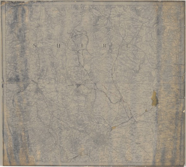
Ordnance Survey map marked to show waterways and railways in the West Midlands
Description
1st edition sheet no. LXII.
Date
[late 19th century]
Reference code
BW165/14/1/22
Extent & medium
1 sheet


