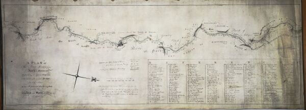
BW150/5
"A Plan of the River Severn from Upton to Bewdley: Describing the different properties & the extent of the several parishes on both sides. Also the present Foot Towing Path. And the Proposed Horse Towing Path"
Description
Includes a table of landowners. Surveyed and drawn by G[eorge] Young.
Date
1772
Reference code
BW150/5
Extent & medium
1 sheet


