BW14/1
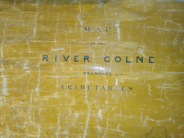
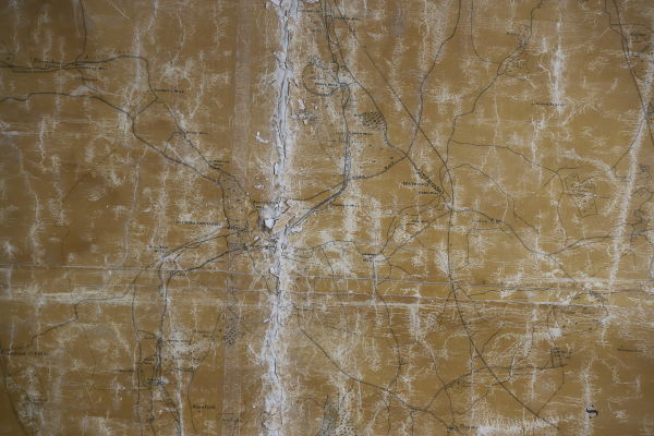
"Map of the River Colne Its Branches and Tributaries"
Description
Includes a schedule containing names and descriptions of mills, owners and occupiers along the Rivers Ver, Bulbourne, Cade, Chess, Misbourne, Colne, Isleworth and Kings; also "Section showing levels of Mills between Tring and The River Thames at Staines"; corner of map signed "Mr Holland".
Date
March 1842
Reference code
BW14/1
Extent & medium
1 sheet


