981.0662
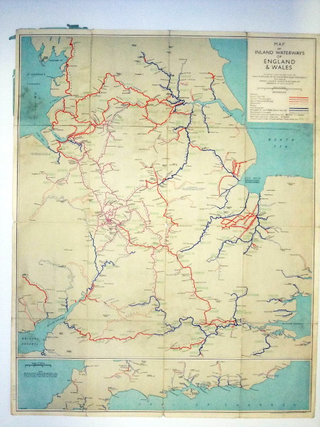
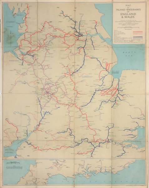
Map of Inland Waterways of England & Wales
Description
Map of Inland Waterways of England & Wales. Compiled under supervision of LA Edwards IWA. As 981.664
Reference code
981.0662
Extent & medium
Paper, colour lithograph
660mm x 840mm
2" = 30 miles
660mm x 840mm
2" = 30 miles
Physical characteristics
old folds


