BW133/2/2/11
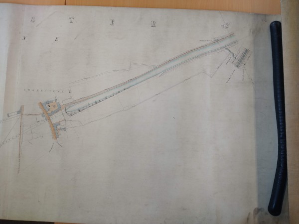
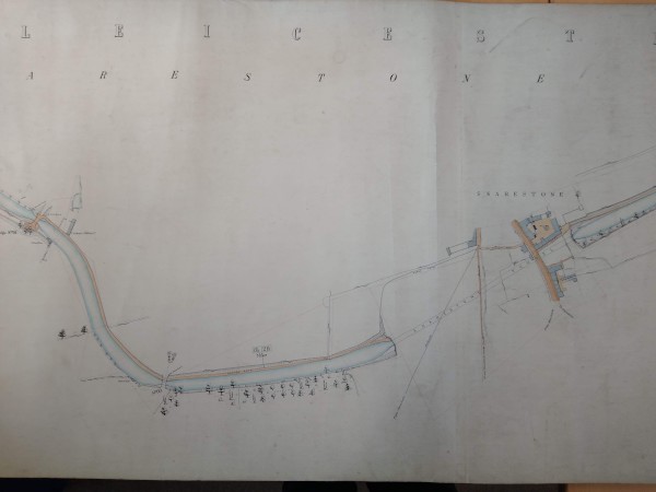
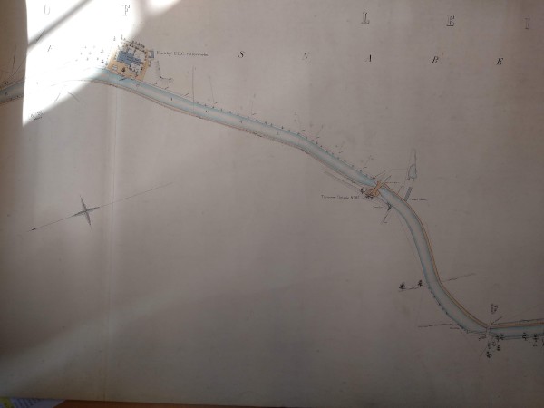
Plan of the Ashby Canal from Pegg's Close Bridge to Snarestone Tunnel and a short distance beyond
Description
Shows the canal in small sequential sections. Shows bridges, culverts, wharves and buildings next to the canal, giving distances along the route; references to agreements concerning land alongside canal given; position of Midlands Railway Notice Board shown. Surveyed by A C Page.
Date
1922
Reference code
BW133/2/2/11
Extent & medium
1 sheet
Associated material
[See also: BW133/2/2/9-10 and BW133/2/2/12-13 for related plans]


