D1177
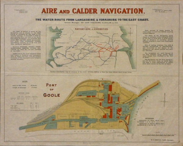
Aire and Calder Map of Aire and Calder Navigation and the Port of Goole July 1919
Description
Plan showing the water route from Lancashire & Yorkshire to the east coast. Plus detailed plan of the port of Goole. Jowett Sowry Ltd. Lith Leeds. W.H. Brach, Traffic Manager.
Date
7/1919
Reference code
D1177
Extent & medium
Colour Washed
1" = 400ft
560mm x 460mm
1" = 400ft
560mm x 460mm


