BW178/65
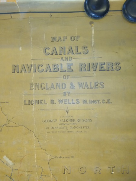
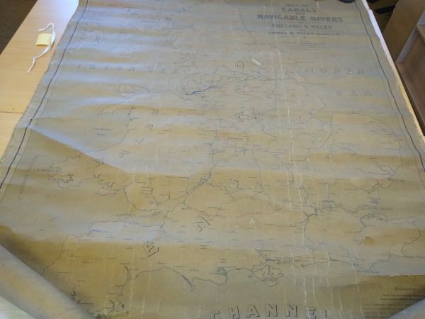
"Map of Canals and Navigable Rivers of England & Wales by Lionel B Wells M.Inst.C.E."
Description
Map showing waterways with inependent waterways coloured blue and railway owned waterways coloured red and an enlarged plan of the Birmingham District
Date
1890s
Reference code
BW178/65
Access Status
These records are available immediately for research
Extent & medium
1 sheet


